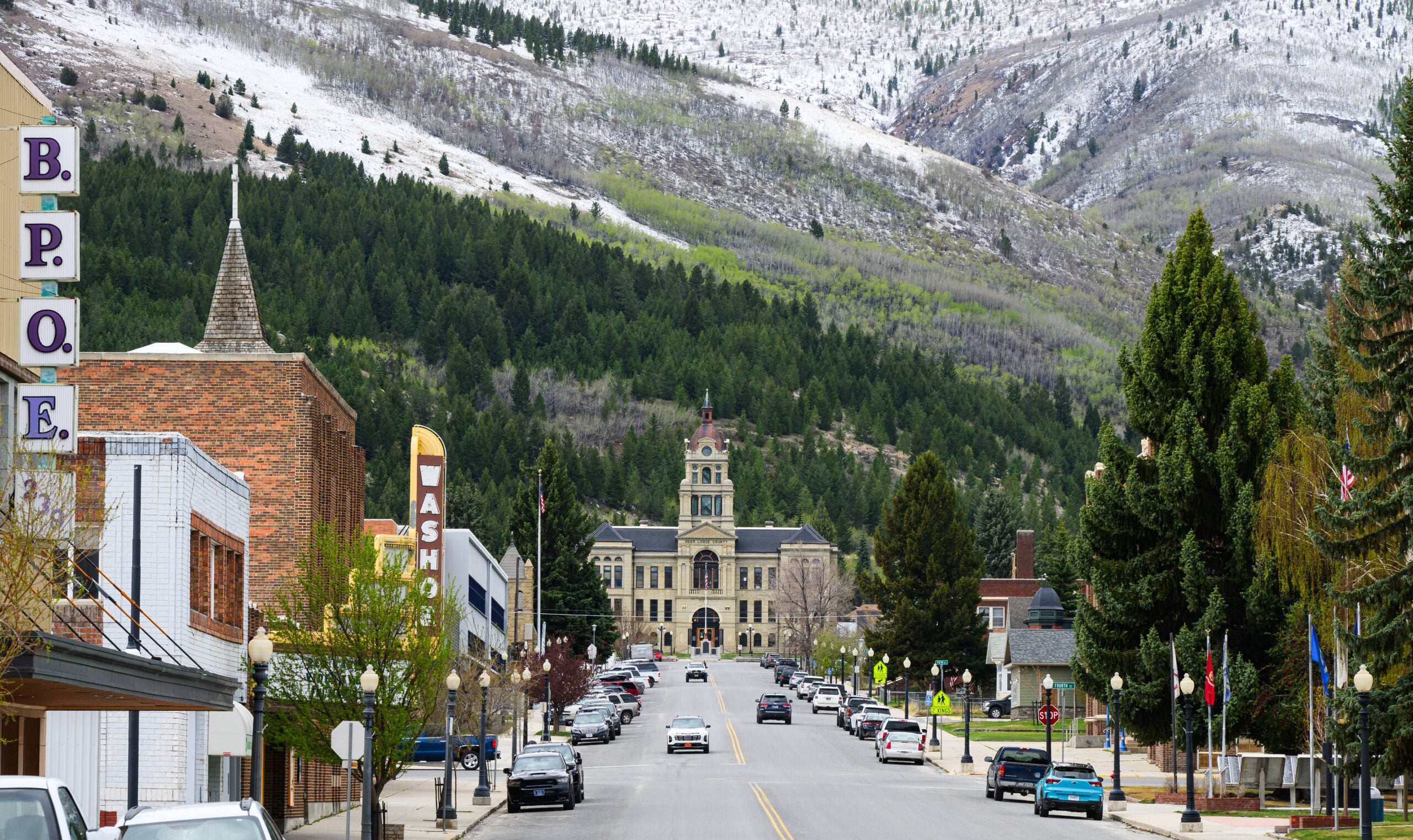

The dream of owning a mountain cabin or homestead property has never felt more within reach, yet choosing the right location makes the difference between a thriving self-sufficient lifestyle and costly mistakes. Many people attracted to off-grid living overlook critical evaluation criteria that determine whether a mountain town actually supports your homesteading goals. Before you commit to a property purchase in any affordable mountain region, you need a systematic framework to assess location viability.
Key Criteria for Evaluating Mountain Towns for Homesteading
Successful homesteaders assess multiple interconnected factors before selecting their location. These principles help you move beyond price alone and identify towns that genuinely support sustainable living.
Key Concepts
- Climate compatibility – average growing season, frost dates, precipitation patterns, and whether the region matches your target crops or animals
- Water access and rights – natural springs, well depth costs, surface water availability, state water law restrictions, and municipal water reliability
- Zoning and building codes – agricultural zoning allowances, restrictions on livestock and structures, septic system requirements, and permit costs
- Infrastructure and proximity – distance to medical care, feed suppliers, hardware stores, grocery options, and whether roads stay passable year-round
- Community and services – local farmer networks, equipment rental availability, property tax rates, and whether the town supports agricultural lifestyles
- Land characteristics – soil quality, elevation, slope, forest coverage, and existing water features that affect building and growing potential
Principles
Research the Growing Season and Microclimate
Identify the USDA hardiness zone and check historical frost dates for spring and fall. Look at average annual precipitation and snowfall patterns—these directly determine which crops survive and how much water infrastructure you need. Contact the local cooperative extension office; they provide free climate data specific to each mountain town and can tell you what vegetables, fruits, and animals thrive locally.
Verify Water Availability and Legal Rights
Call the county assessor’s office and ask about water rights attached to specific properties you’re considering. Some mountain states have strict prior appropriation laws that limit well drilling or surface water use. Ask whether the town relies on municipal water or if properties typically use wells, springs, or cisterns. Calculate the cost of drilling a well in that area—prices vary dramatically by region and depth.
Check Zoning Laws and Agricultural Allowances
Obtain the county zoning map and read the specific ordinances for agricultural districts. Verify whether you can legally raise chickens, goats, bees, or larger livestock without special permits. Ask the county planning department about septic system requirements, setback distances from roads, and whether off-grid systems (solar, composting toilets) are permitted or restricted. Some towns embrace homesteading; others heavily regulate it.
Assess Infrastructure and Distance to Essential Services
Map the nearest veterinarian, hardware store, feed supplier, and medical clinic. Calculate drive times in winter conditions—mountain roads can become impassable. Visit the town in off-season to see whether services stay open year-round. Ask locals about road maintenance, internet reliability, and whether delivery services reach the area. Property value depends partly on isolation level.
Evaluate Soil Quality and Land Characteristics
Request a soil test through the cooperative extension office before purchasing land. Understand slope, drainage, and whether bedrock sits close to the surface. Visit properties during wet season to see water movement and potential flood zones. High elevation means shorter growing seasons; north-facing slopes stay cold and wet longer. These factors affect both food production and building costs.
Connect with the Local Homesteading Community
Join local Facebook groups, visit farmers markets, and attend town meetings before committing. Ask established homesteaders about unexpected challenges, costs, and what they wish they’d known. Community knowledge reveals whether the town genuinely supports agricultural living or if you’ll face resistance and isolation. Strong local networks for knowledge-sharing, tool borrowing, and bulk supply purchasing make homesteading dramatically more sustainable.
- Visit your candidate town during the worst season (winter for snow areas, summer for heat/drought regions) to see actual conditions and assess road access, utility reliability, and community vibrancy when isolated
- Request property tax assessments and five-year tax histories for comparable homestead properties—some mountain towns offer agricultural exemptions that dramatically reduce long-term costs
- Ask the local building department for a list of recently permitted homestead projects and contact those owners to learn real costs, timeline delays, and code surprises they encountered
Tools for Researching Mountain Town Viability
- Soil Testing Kit: Essential for understanding pH, nutrient levels, and drainage before investing in land or planting infrastructure. County extension offices often provide subsidized or free testing.
- USDA Hardiness Zone and Frost Date Resources: Free online tools that show growing season length and which crops survive your target region. Accuracy within your specific elevation and microclimate is critical.
- County GIS Mapping Tools: Free or low-cost digital maps showing zoning, property boundaries, elevation, water features, and land ownership. Most counties provide web access to their planning and assessor databases.
- Water Rights and Hydrogeological Reports: Professional assessment of well viability and water rights for specific properties. Investment now prevents discovering restrictions or poor water quality after purchase.
National Geographic Waterproof Topographic Maps – Regional Mountain Series
Best for: Homesteaders and land scouts evaluating elevation, terrain, water features, and property access
Durable waterproof topographic maps for your target mountain region show elevation contours, water sources, road conditions, and natural features at high detail. Unlike digital tools alone, physical maps work without cell service and let you mark promising properties, water access points, and seasonal trouble spots directly on the map. Essential for understanding terrain before site visits and identifying land characteristics affecting building and growing potential.
Check Current Price on Amazon →Soil Savvy DIY Soil Test Kit with pH and Nutrient Analysis
Best for: Budget-conscious homesteaders who need baseline soil data before purchasing property
Affordable mail-in soil testing kit measures pH, nitrogen, phosphorus, and potassium levels—the core nutrients affecting crop success. Results arrive within two weeks with recommendations for amendments. While less comprehensive than professional university testing, it provides essential data for evaluating whether soil requires major remediation before gardening investments. Great starting point before committing to land purchase in unfamiliar regions.
Check Current Price on Amazon →Garmin inReach Mini 2 Satellite Communicator
Best for: Remote property scouts and homesteaders in areas with no cell service
Handheld satellite communicator lets you send messages, track your location, and request help from anywhere on Earth—essential for scouting remote mountain properties without cell coverage. Two-way messaging keeps you in contact with family and service providers while exploring isolated land. Compact enough to clip to a pack, it provides peace of mind when evaluating terrain and building sites in areas where you’ll eventually live off-grid.
Check Current Price on Amazon →Brunton TruArc 3 Baseplate Compass with Map Case
Best for: Serious property evaluators mapping terrain, water sources, and building sites without relying on GPS
Precision baseplate compass with declination adjustment lets you navigate topographic maps accurately and identify water sources, ridge lines, and property access points using traditional navigation methods. Invaluable when digital tools fail or lack detail, and teaches you to read terrain before committing to land purchase. The integrated map case keeps documents dry during field investigations of candidate properties.
Check Current Price on Amazon →Making Your Mountain Town Decision
Choosing an affordable mountain town for homesteading requires moving beyond price comparisons into systematic evaluation of climate, water, zoning, infrastructure, and community. The cheapest property means nothing if zoning prevents livestock, water rights restrict your plans, or soil conditions demand expensive remediation. Successful homesteaders invest 2-4 months in thorough research—visiting multiple seasons, testing soil, connecting with locals, and verifying legal restrictions—before committing financially.
Start with the free resources: USDA hardiness zones and frost date data, county GIS mapping tools, and cooperative extension climate information narrow your options to climate-compatible regions. Then invest in on-site evaluation—topographic maps, soil testing, water rights research, and seasonal visits—to confirm that your chosen town genuinely supports your homesteading vision. The upfront research investment saves you from purchasing land where your dreams become financial nightmares.
Frequently Asked Questions
What’s the most important factor when choosing an affordable mountain town for homesteading?
Water access trumps nearly everything else. Without reliable water, homesteading becomes prohibitively expensive and unsustainable. Verify water rights, well depth, and annual precipitation before evaluating any other criteria. A beautiful affordable property becomes a financial trap if you can’t legally access water or face shocking drilling costs.
How do zoning laws differ between mountain towns, and why does it matter?
Some mountain regions welcome agricultural use and off-grid systems; others strictly limit livestock, require expensive septic permits, and ban alternative energy. Research zoning before buying land. A property that costs 20% less in one county might be worthless if you can’t legally build the homestead you envision there.
Should I visit a mountain town only during summer, or in all seasons?
Visit during the worst season for that region. Winter visits reveal road maintenance, utility reliability, community services during isolation, and whether your tolerance matches reality. Summer visits alone hide months of harsh weather, supply chain delays, and social isolation that shock unprepared homesteaders.
What soil or land characteristics disqualify a property for homesteading?
Bedrock too close to the surface makes well drilling impossible and expensive septic installation; steep slopes increase erosion and building costs; poor drainage invites disease in livestock and crop failure; shallow soil limits root crops and perennials. Professional site assessment costs $500-1500 but saves tens of thousands in failed infrastructure.
How do I find established homesteaders in a mountain town to ask about costs and challenges?
Search Facebook groups with town name plus homesteading or off-grid keywords, attend local farmers markets, visit the county extension office, and ask real estate agents for references from past rural property buyers. Genuine locals reveal unexpected costs, seasonal surprises, and community dynamics that research alone cannot.
As an Amazon Associate, Build & Bloom earns from qualifying purchases. We only recommend products we genuinely think are useful. Prices and availability vary; check Amazon for the latest.
Leave a Reply